| Sign In | Join Free | My chinacomputerparts.com |
|
| Sign In | Join Free | My chinacomputerparts.com |
|
| Categories | Airborne Mapping Payload |
|---|---|
| Brand Name: | Geosun |
| Model Number: | GS-300T LiDAR Scanning System |
| Certification: | CE, ISO |
| Place of Origin: | China |
| MOQ: | 1 |
| Price: | Negotiation |
| Payment Terms: | T/T, Western Union |
| Supply Ability: | 30 SETS/Month |
| Delivery Time: | 10-15 works days |
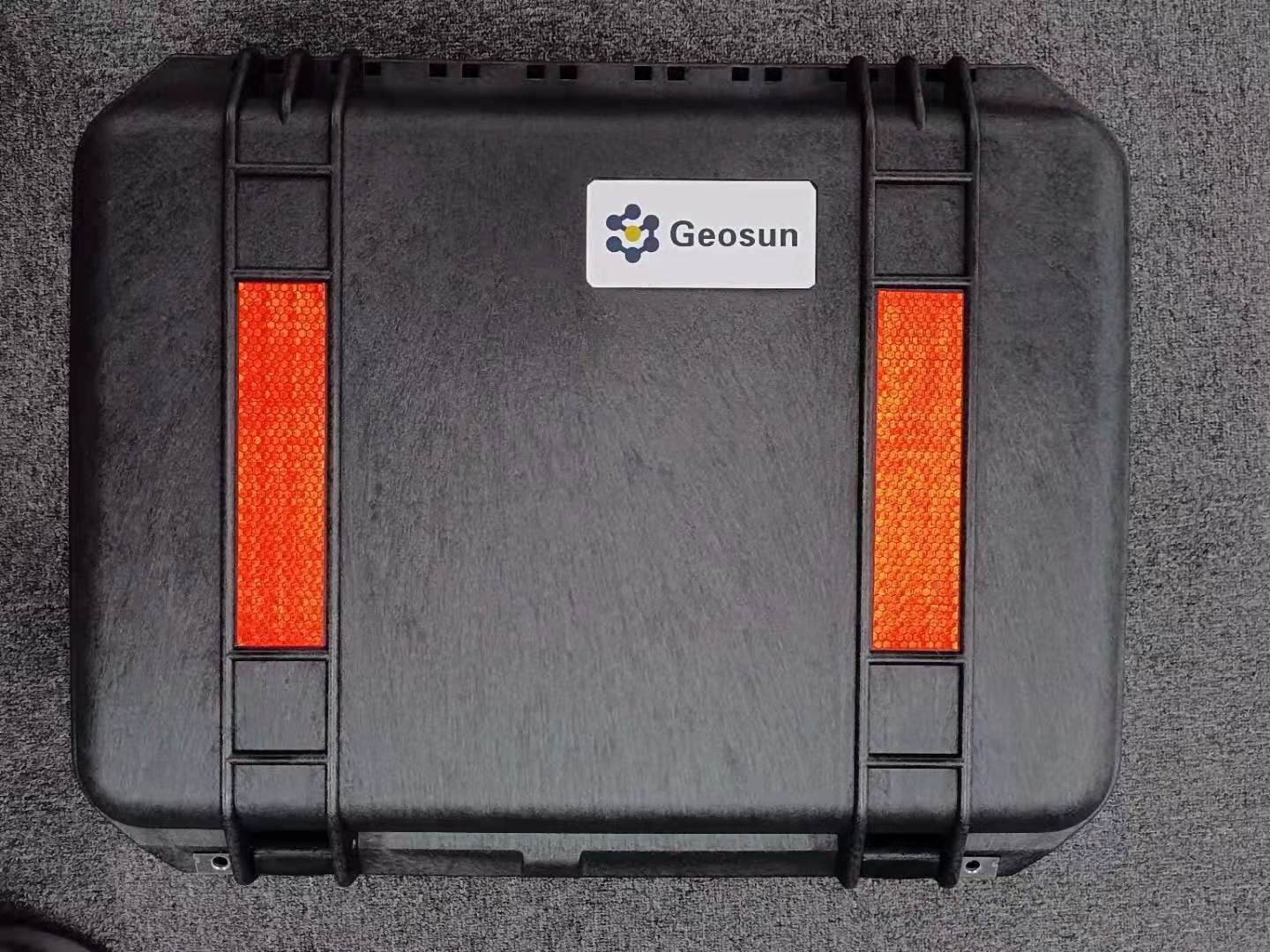
| Packaging Details: | Suit Case 520*420*230 mm |
| Detection Range: | 300 M AGL Long Range |
| Application: | Mapping & Survey |
| Compatibility: | VTOL Fixed wing drone |
| Laser brand: | Livox T-15 |
| Company Info. |
| Wuhan Geosun Navigation Technology Co., Ltd. |
| Verified Supplier |
| View Contact Details |
| Product List |
gAirHawk GS-300T LIDAR SCANNING SYSTEM
Drone LiDAR Scanning System Mounted on VTOL Fixed wing drone
gAirHawk GS-300T is a kind of Mid-range, compact LiDAR point cloud data acquisition system, integrated Livox Tele-15 laser sensor, GNSS and IMU positioning and attitude determination system, and storage control unit, is able to real-time, dynamically, massively collect high-precision point cloud data and rich image information. It is widely used in the acquisition of 3D spatial information in surveying, electricity, forestry, agriculture, land planning.
Long Range
The Tele-15 uses a large-diameter double-aspheric lens and solves
common defocusing facula problems in long focus optical design,
offering a detection range of up to 500m. Even when target object
reflectivity is as low as 10%, it can still reach a detection range
of up to 320m. Tele-15 supports customized firmware to increase the
detectable range limit to 1000 meters.


Specification
| gAirHawk GS-300T | ||
| Item Name | System Parameters | |
Parameters | Weight | 2.15 kg |
| Working temperature | -20℃~55℃ | |
| Power range | 12 V | |
| Consumption | 20 W | |
| Carrier | VTOL Fixed Wing drone | |
| Storage | 64 GB storage, maximum support 128GB TF card | |
| OD | 16 X 12.5 X 13.5 cm | |
Lidar Unit | Measuring Range | 320m@10% Reflectivity, 500m@50% Reflectivity, |
| Laser class | 905nm Class1 (IEC 60825-1:2014) | |
| Laser line number | 128 beam | |
| Range Accuracy | 2 cm | |
| Pulse Frequency | 240 KHz | |
| Beam Divergence | 0.02° * 0.12° | |
| Data Rate | Double echo 480,000 Points/Sec | |
| FOV | 14.5° * 16.2° | |
| Laser sensor | Livox Tele-15 | |
| POS Unit | Update frequency | 200HZ |
| Heading accuracy | 0.017° | |
| Pitch accuracy | 0.005° | |
| Rolling accuracy | 0.005° | |
| Position accuracy | ≤0.05m | |
| GNSS signal type | GPSL1/L2 GLONASSL1/L2 BDS B1/B2a/B3 | |
| GNSS Motherboard | OEM 719 | |
| IMU | AGS 303 | |
| Pre-processing software | POS software | Output information: position, speed, attitude |
| Point cloud software | Output point cloud data format: LAS format, custom TXT format | |
Application for Mapping & Survey

Package
It is packed by suit case with EVA material liner inside, then covered by hard carton box. It is suitable for air shipment and sea shipment.


|
